Arizona
Travels & Tours
Pictures, Photos, Images, & Reviews.
Theodore Roosevelt Lake
Dam, & Bridge
Best Dam Pictures On The Internet!
Google Map To Theodore Roosevelt Lake, Dam, & Bridge, Arizona.
View Larger Map


Click On Any Of The Following Links By Amazon.Com
For Books, Videos, & Lures For Bass Fishing. No Obligation!
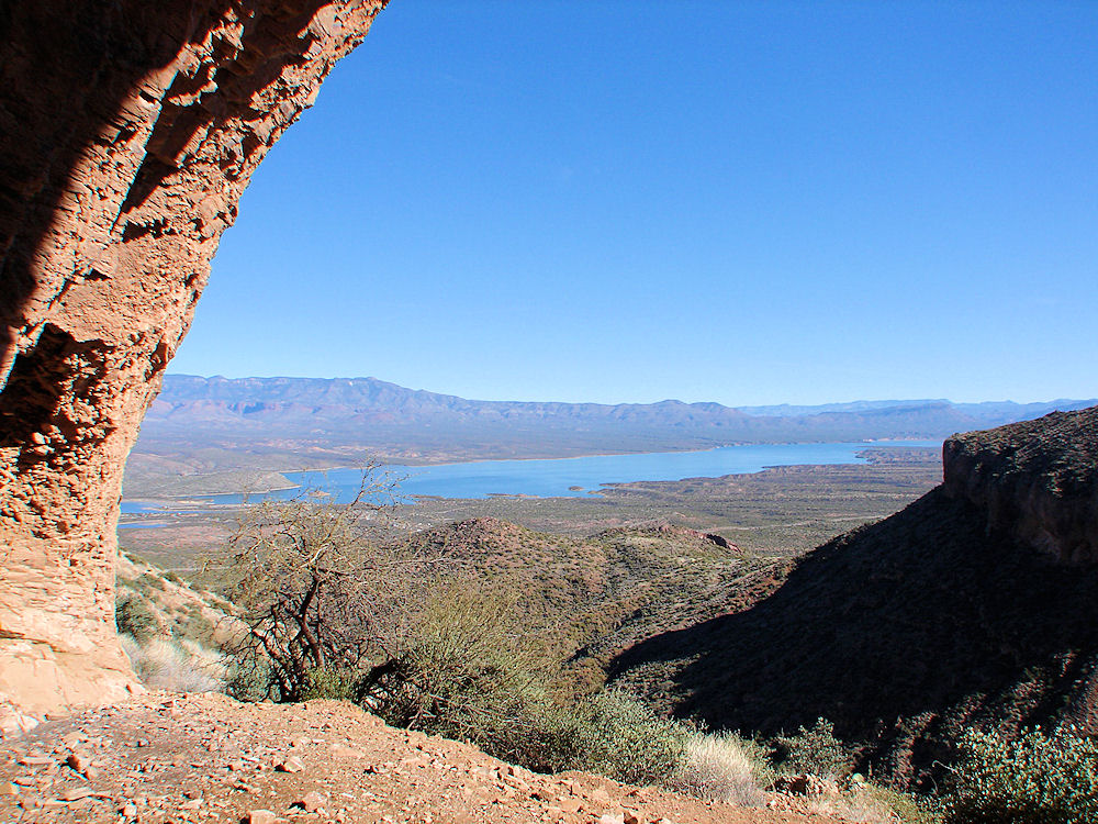 |
| Theodore Roosevelt Lake, Arizona. Photo. From Arizona Tonto National Monument Upper Pueblo Ruins: January 15, 2011. |
|---|
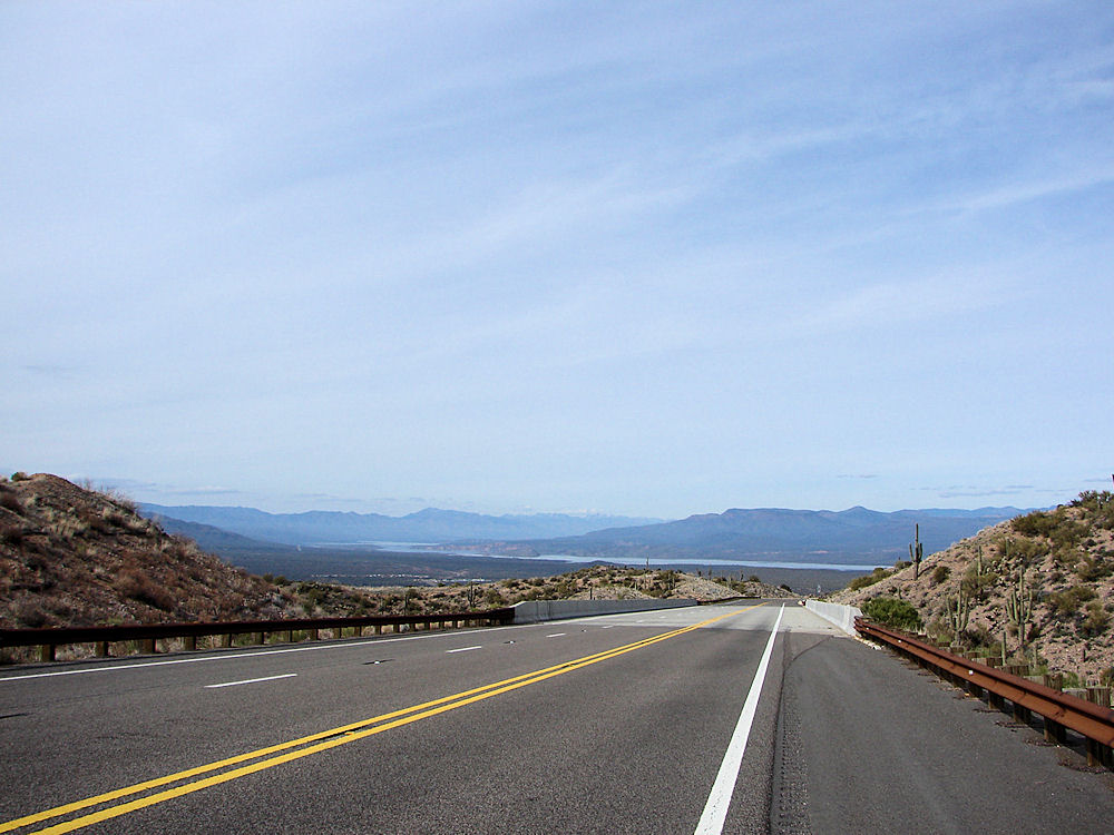 |
| Theodore Roosevelt Lake, Arizona. Photo. From Arizona 188. Photo Taken: April 17, 2009. |
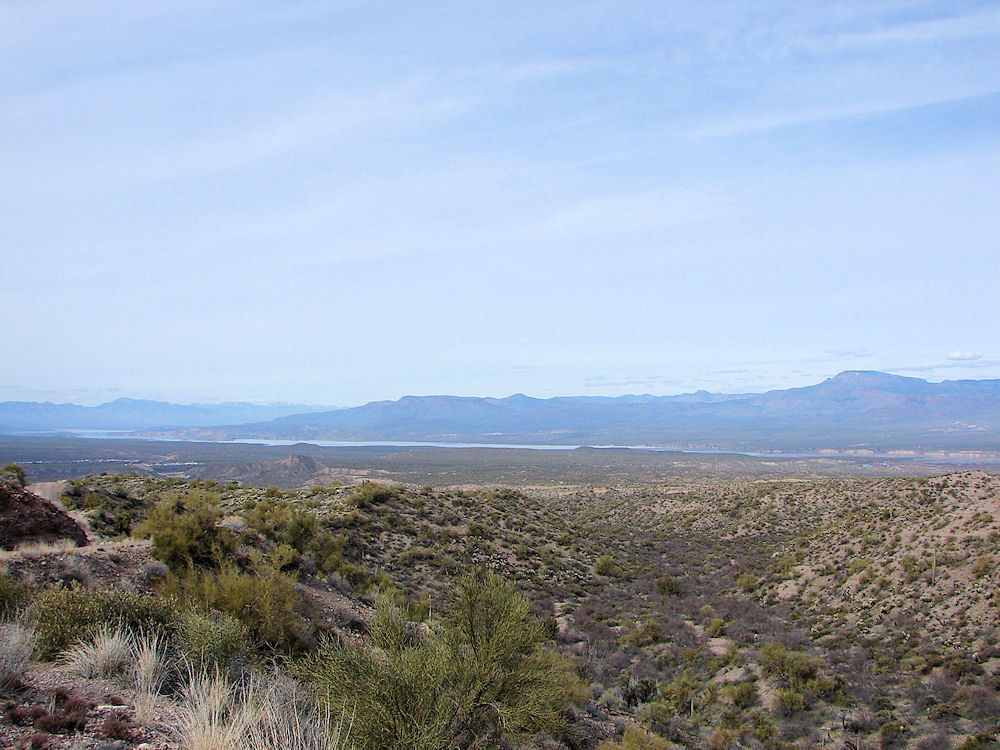 |
| Theodore Roosevelt Lake, Arizona. Photo Taken: April 17, 2009. |
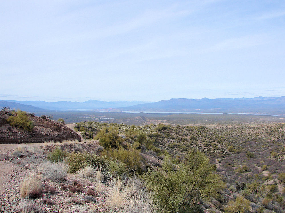 |
| Theodore Roosevelt Lake, Arizona. Photo Taken: April 17, 2009. |
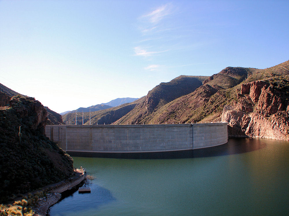 |
| Theodore Roosevelt Dam, Arizona. Photo Taken: January 15, 2011. |
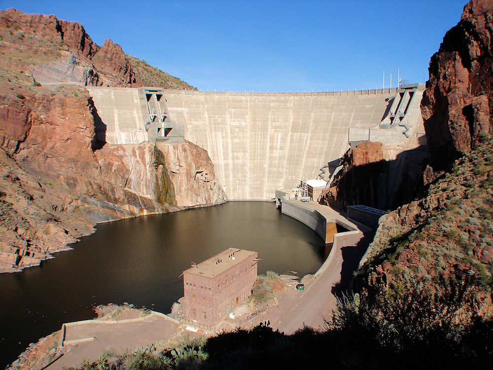 |
| Theodore Roosevelt Dam, Arizona. Photo Taken: January 15, 2011. |
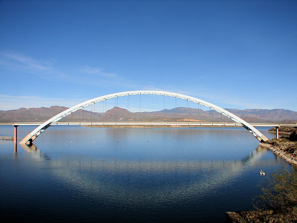 |
| Theodore Roosevelt Bridge, Arizona. Photo Taken: January 15, 2011. |
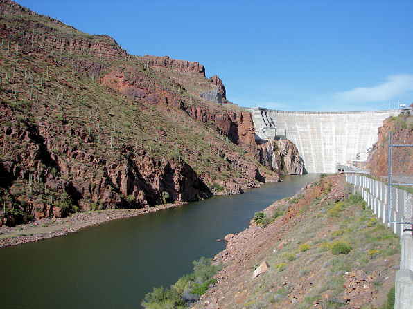 |
| Upper Apache Lake Below Theodore Roosevelt Dam. Arizona. Photo. From The Apache Trail. |
|---|
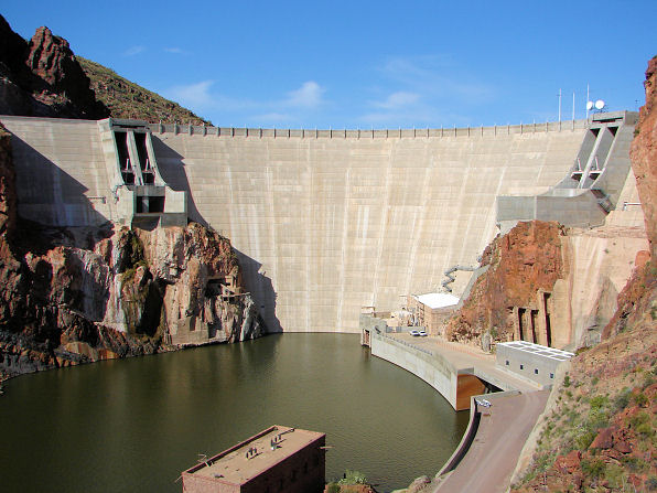 |
| Theodore Roosevelt Dam Arizona. Photo. Picture From The Lower Dam Viewing Area. |
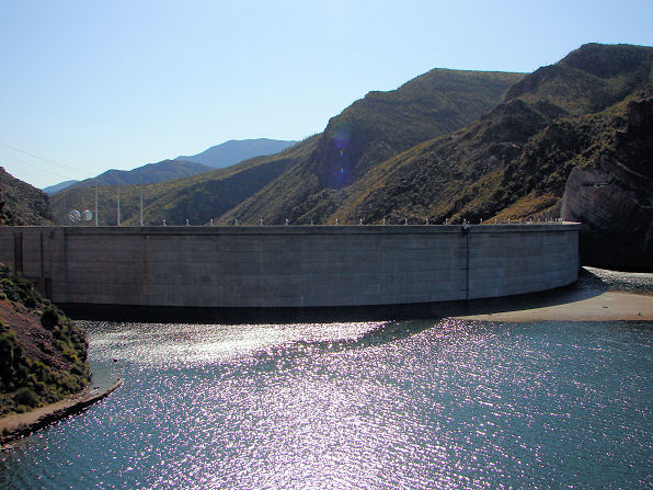 |
| Theodore Roosevelt Dam Arizona. Photo. Picture From The Upper Dam Viewing Area. |
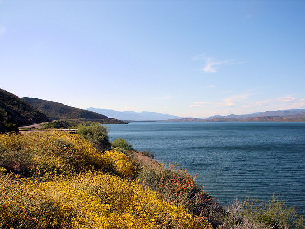 |
| Roosevelt Lake, Arizona. Photo Taken: April 17, 2009. First View Of The Lake From Roosevelt Lake Road |
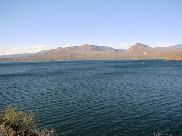 |
| Roosevelt Lake, Arizona. Photo Taken: April 17, 2009. First View Of The Lake From Roosevelt Lake Road |
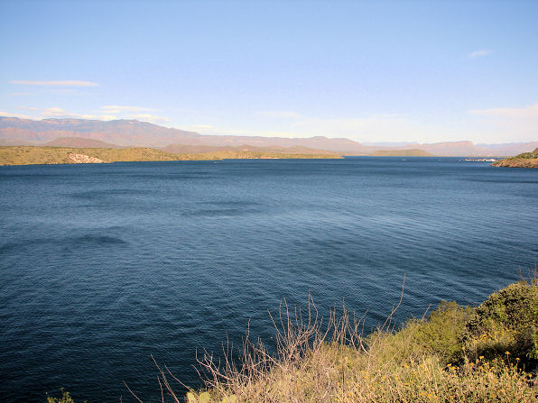 |
| Roosevelt Lake, Arizona. Photo Taken: April 17, 2009. First View Of The Lake From Roosevelt Lake Road |
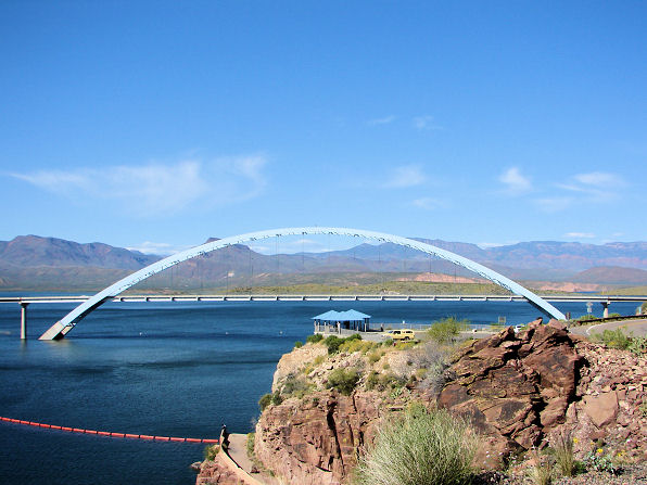 |
| Roosevelt Lake Bridge, Arizona. Photo Taken: April 17, 2009. Completed In 1990. The Main Span Is 1080.71 Feet In Length. |
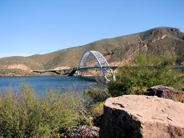 |
| Roosevelt Lake Bridge, Arizona. Photo Taken: April 17, 2009. Completed In 1990. The Main Span Is 1080.71 Feet In Length. |
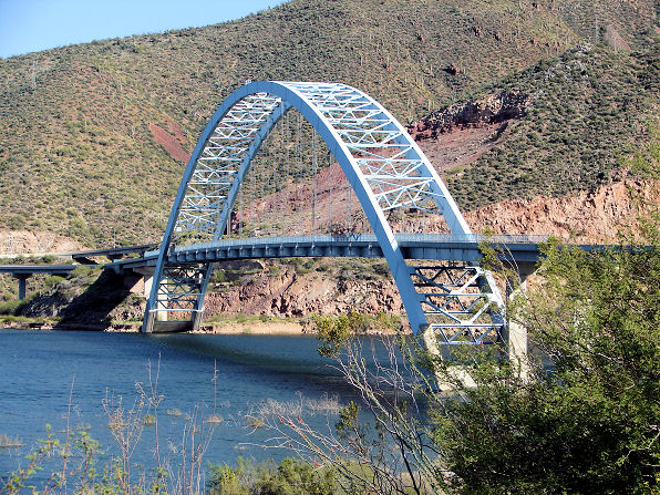 |
| Roosevelt Lake Bridge, Arizona. Photo Taken: April 17, 2009. Completed In 1990. The Main Span Is 1080.71 Feet In Length. |
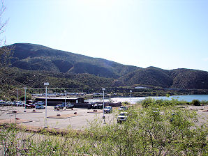 | 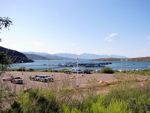 |
| Roosevelt Lake Marina. | Roosevelt Lake Marina. |
|---|---|
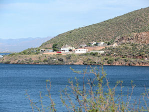 | 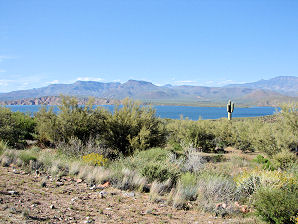 |
| Salt River Project Employee Living Area Roosevelt Lake, Arizona. Photo. | Roosevelt Lake, Arizona. Photo. |
Roosevelt Lake was formed by the Theodore Roosevelt Dam, which is 280 feet high and 723 feet long. The dam was the first major structure constructed by the Bureau of Reclamation on the Salt River Project. It is a masonry dam built in 1911, making Roosevelt Lake the oldest artificial reservoir in Arizona. The Theodore Roosevelt Lake is located about 80 miles east from Phoenix, with the shortest route to the lake is over the unpaved Apache Trail. Roosevelt Lake is a spectacular site for boating, fishing, water skiing, hiking, camping, and all other forms of outdoor recreation. Roosevelt Lake has clear water and excellent fishing. A Google Earth Map search marks the center of the Theodore Roosevelt Lake Dam at 33o 40' 18.23" N 111o 09' 40.32" W. It is Gila County, Arizona. Theodore Roosevelt Lake boasts of a steel arch, suspended deck, road bridge called; the Roosevelt Lake Bridge, which was completed in 1990. It is owned by the Arizona Department of Transportation. It was designed by Howard, Needles, Tammen & Bergendoff. Its main contractor was Edward Kraemer & Sons, Inc. The main span is 1080.71 feet in length. The Roosevelt Lake Bridge actually carries state route 188 over Roosevelt Lake, near the dam. Theodore Roosevelt Lake is a large lake, 25 miles long, with 112 miles of shoreline, and it has a maximum depth of 349 feet. At one time it was the largest man-made lake in the world. But now, Roosevelt Lake is simply the largest of the six Salt River Project ( SRP) lakes, and it offers the most recreation opportunities of any lake in Arizona. When full, the lake covers more than 17,000 acres near the confluence of Tonto Creek and the Salt River. Theodore Roosevelt Lake contains a wildlife area and since it is a wildlife refuge, it is posted to permit hunting only at certain times of the year. The Tonto Creek arm of Roosevelt Lake is closed from November 5 - February 15 to protect wildlife. It is surrounded by beautiful scenery since it is within the Tonto National Forest, home to abundant wildlife. Visitors to the area could see; eagle, javelina, big horn sheep, mule deer, snakes, lizards, chuckwalla, and many desert plants, including the saguaro, mesquite, and ocotillo. There is very little access to the northeast side of the lake since the terrain there is more mountainous. Most of the access to the northeast side requires 4WD. However, the southwest shoreline is easily reached from AZ 188, which runs near the lake for most of its 18 mile length, passing various marinas and campsites. There is one rough road (FR 60), which winds through the hills from AZ 288 in the south to AZ 188 north of the lake, but this is several miles away from the shore and few long 4WD trails lead towards the water. One interesting place on the way is Salome Creek, which is best approached from the north end. It contains a short section of a granite narrows called the 'The Jug'. It has smooth, sheer, pink - white walls, deep pools, and waterfalls. The main fish caught in Roosevelt Lake are: Crappie, bass, small mouth bass, large mouth bass, bluegill, flathead catfish, and channel catfish. Its temperatures range from lows of about 25 degrees F. during the months of December and January; to highs that may exceed 115 degrees F. from July through September. The annual precipitation usually ranges from about 2 to 8 inches. Boat lanching ramps are available at Indian Point Recreation Site, Roosevelt Marina, Cholla Recreation Site, Windy Hill Recreation Site, Grapevine Groupsite, and the Schoolhouse Recreation Site. The Cholla Boating Site and Indian Point Recreation Site are both handicap accessible. Picnic areas can be found at Indian Point Recreation Site, Windy Hill, and Grapevine Group Campground. GETTING THERE:
To reach the Cholla Boating Site:
From Claypool:
To reach the Windy Hill Boating Site:
From Mesa:
To reach the Indian Point Recreation Site:
To reach the Grapevine Group Campground:
If you are coming to the dam from Globe:
You will need a Tonto Pass. $6.00 per vehicle and $4.00 per watercraft. Any group events require a permit. Contact the Tonto Basin ranger station for both passes and permits.
Tonto Basin Ranger Station
|
If you are planning to visit Theodore Roosevelt Lake. And if you are coming from outside of Arizona, you could fly into the Phoenix Sky Harbor International Airport and then rent a car. There are many hotels and motels in the area. We have some links to Priceline.com on this page since they can arrange all of your air flights, hotels and car. In addition, visitors to the lake, may need to purchase some outdoor gear, boating equipment, or fishing gear. We also have some links to Altrec.com on this page since they are a good online source for any outdoor camping gear and clothing that you may need. We of course, appreciate your use of the advertising on our pages, since it helps us to keep our pages active.
|

We Are Proud Of Our SafeSurf Rating!

Click On Any Of The Following Links By Amazon.Com
For Camping Gear. No Obligation!
Click On Any Of The Following Links By Amazon.Com
For Books, Videos, & Lures For Bass Fishing. No Obligation!
Back To "Valley Of The Sun" Lakes
or "Phoenix Area" Lakes Page.
Back To Arizona Tours Page
Back To DeLange Home Page
Images And Text Copyright George & Eve DeLange
| Back To "Valley Of The Sun" Lakes or "Phoenix Area" Lakes Page.
|
| Back To Arizona Tours Page
|
| Back To DeLange Home Page
Images And Text Copyright George & Eve DeLange
|
